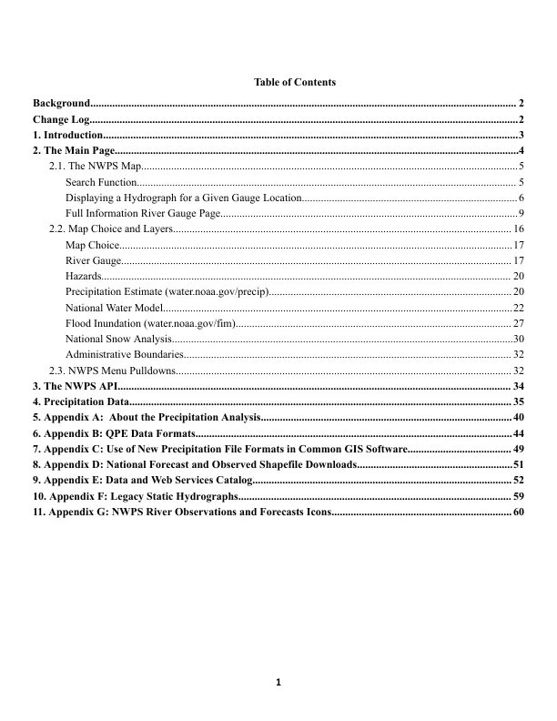
Map Choice................................................................................................................................................17 River Gauge............................................................................................................................................... 17 Hazards...................................................................................................................................................... 20 Precipitation Estimate (water.noaa.gov/precip).........................................................................................20 National Water Model................................................................................................................................22 Flood Inundation (water.noaa.gov/fim)..................................................................................................... 27 National Snow Analysis.............................................................................................................................30 Administrative Boundaries........................................................................................................................ 32 2.3.NWPS Menu Pulldowns........................................................................................................................... 32 3.The NWPS API................................................................................................................................................ 34 4.Precipitation Data............................................................................................................................................ 35 5.Appendix A: About the Precipitation Analysis............................................................................................40 6.Appendix B: QPE Data Formats....................................................................................................................44 7.Appendix C: Use of New Precipitation File Formats in Common GIS Software...................................... 49 8.Appendix D: National Forecast and Observed Shapefile Downloads.........................................................51 9.Appendix E: Data and Web Services Catalog...............................................................................................52 10.Appendix F: Legacy Static Hydrographs.................................................................................................... 59 11.附录G:NWPS河的观测和预测图标.............................................................................................................................................................................................................................................................................................................................................................................................................
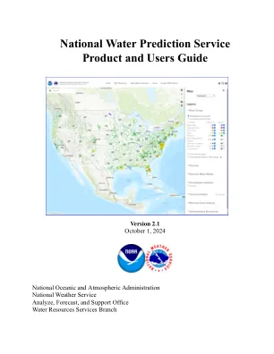
国家水预测服务产品和用户指南
主要关键词

